Win a $74k+ Custom Side-by-Side & Trailer Package  -  Click Here

Dolores River Travel Management Plan: Support Keeping 321 Miles of Trails in Moab Open

The BLM has released preliminary alternatives for the Dolores River Travel Management Plan, covering 321 miles of routes just east of Moab. BRC supports a variation of Alternative D, the option that keeps 98% of the network open for OHV riders, hunters, and mountain bikers.

Why you should submit here, even if you already have elsewhere!

We keep them honest. If everyone only comments through the government/agency site, we have to take their word on how many comments were received. By submitting through BRC, we create an independent record of our community’s response that can’t be buried or under-reported.

We protect your voice. If this fight ends up in court, having our own record of submitted comments means we don’t have to wait a year or more for a government agency to turn over documents. We can move quickly with proof that thousands of you spoke up.
We keep you in the loop. When you comment through our site, we can send you updates on what comes next. If you only use the government/agency site, you’re depending on them to tell you what happens next — and they won’t.

Double coverage matters. Even if you’ve already commented through the government/agency site, submitting through ours makes your voice count twice — once in their system, and once in ours. That way they know the OHV community is watching and tracking every move.

For years, BRC has been trusted to run action alerts like this. Thousands of members and supporters have used this system effectively to defend access to public lands. This isn’t about collecting your info — it’s about building the strongest, most transparent record possible to hold agencies accountable.

Why you should submit here, even if you already have elsewhere!

We keep them honest. If everyone only comments through the government/agency site, we have to take their word on how many comments were received. By submitting through BRC, we create an independent record of our community’s response that can’t be buried or under-reported.

We protect your voice. If this fight ends up in court, having our own record of submitted comments means we don’t have to wait a year or more for a government agency to turn over documents. We can move quickly with proof that thousands of you spoke up.

We keep you in the loop. When you comment through our site, we can send you updates on what comes next. If you only use the government/agency site, you’re depending on them to tell you what happens next — and they won’t.

Double coverage matters. Even if you’ve already commented through the government/agency site, submitting through ours makes your voice count twice — once in their system, and once in ours. That way they know the OHV community is watching and tracking every move.

For years, BRC has been trusted to run action alerts like this. Thousands of members and supporters have used this system effectively to defend access to public lands. This isn’t about collecting your info — it’s about building the strongest, most transparent record possible to hold agencies accountable.

July 1, 2026

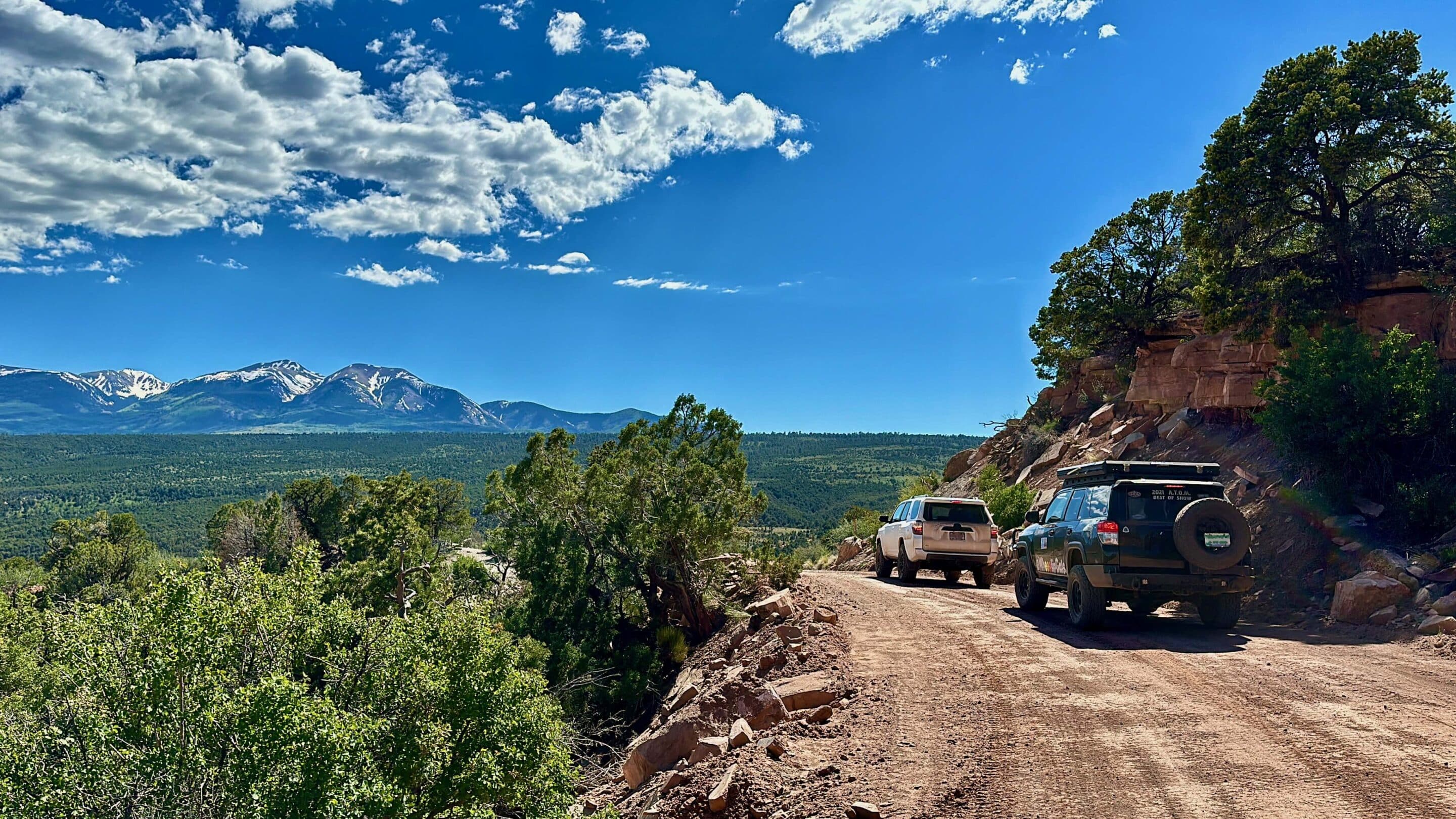
The Bureau of Land Management has released preliminary alternatives for the Dolores Travel Management area which lies just east of Moab, Utah. This plan covers 321 miles of routes. The area includes a portion of Kokopelli's Trail, several designated BLM campgrounds, and an estimated 321 miles of existing routes used by hunters, OHV riders, mountain bikers, and overlanders.

BLM has now released the Draft Route Reports — the route-by-route evaluation that will form the basis of the Draft Environmental Assessment that is expected later this year.

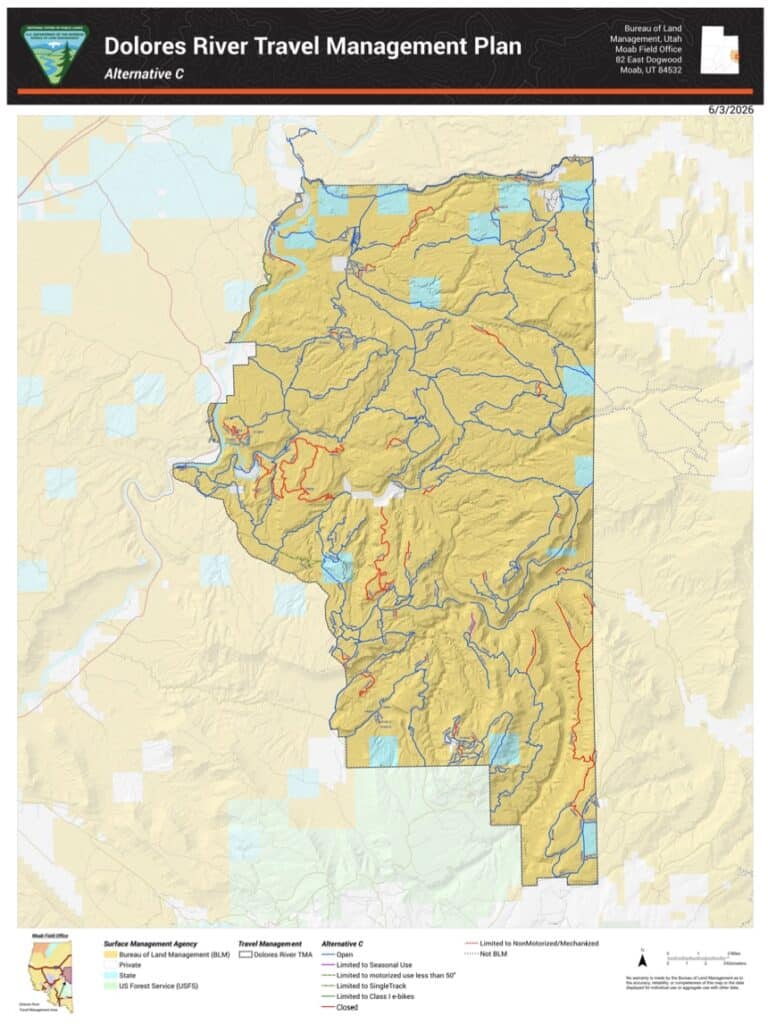
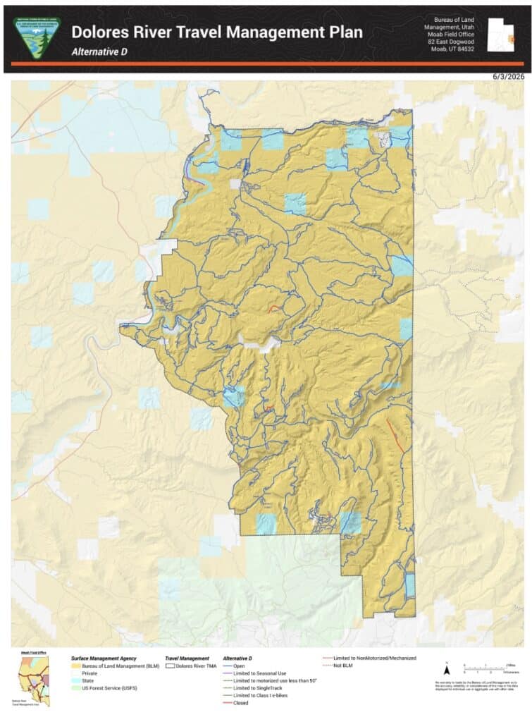
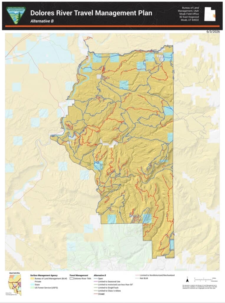
These reports show how each route would be designated under four alternatives. Alternative A is current route status, Alternative B closes the most, Alternative C also closes more than Alternative A but less than B and Alternative D has the most routes open and opens routes the BLM previously designated as closed. BRC supports a variation of Alternative D and will be evaluating even the closed mileage in Alternative D. The BLM has been monitoring where damage has taken place.

This planning process is occurring as a result from a 2017 settlement with anti-access organizations, requiring the BLM to evaluate all the routes again and do an additional travel management planning.
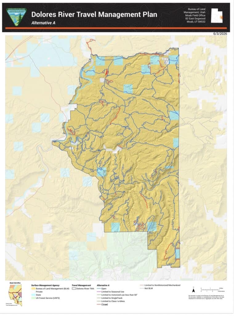
Alternative A (No Action) — 303 miles open, 36 miles closed. Continues current management. The 36 closed miles are already designated closed under existing plans.

Alternative B (Conservation) — 197 miles open, 139 miles closed, 4 miles limited. Closes 41% of the network, targeting routes in Habitat Management Areas, LWC units, Natural Areas, and riparian corridors. Would eliminate 79% of hunting access routes and 88% of scenic overlook routes.

Alternative C (Balanced) — 279 miles open, 54 miles closed, 7 miles limited. Keeps 82% of routes open. A significant improvement over Alternative B but still closes routes with RS 2477 legal status and documented public use.

Alternative D (Access) — 334 miles open, 4 miles closed, 2 miles limited. Keeps 98% of the network open. The 4 miles it closes are routes already naturally reclaiming or with documented site-specific conflicts. Consistent with RS 2477 rights-of-way and current administration policy under EO 14408. BRC supports Alternative D.

BRC will continue evaluating the routes and for this reason we support a variation of Alternative D and will be assessing the mileage closed even in Alternative D.
Appreciate What We Do?

It takes a team of people to investigate, review, advocate and litigate in order to protect your rights to public lands. Please consider donating today so we can defend your ground.

Latest Articles
Categories