The U.S. Forest Service is proposing the Silver Branch Vegetation Management Project in the Ottawa National Forest in Michigan's Upper Peninsula. The public can submit comments on the draft environmental assessment though January 21, 2026. This is a vegetation management project that also aims to make several recreation improvements throughout the area. However, we have concerns that the project unnecessarily closes a significant portion of the dedicated OHV routes in a major update to the Motor Vehicle Use Maps that were recently completed in 2022. The project covers 177,772 acres and could affect 574.8 miles of routes. We encourage you to read the briefing below and join us in supporting the good elements of this project while encouraging the US Forest Service to develop a better alternative for the travel system impacts of this project.
Full Briefing
The Ottawa National forest recognizes that road maintenance is necessary in order to carry out vegetation treatments. There are areas proposed for treatment that lack access. These need addressed through either temporary roads or utilizing roads that exist on the ground that are not formally recognized in the forest road system. The temporary road mileage needed is still to be determined within this project area. The main concern with the Silver Branch project is the amount of mileage being proposed to be decommissioned at 95.3 miles (maps below) and the reduction of mileage that is designated as OHV only (see tables below). The project proposes to remove 78 miles of OHV only routes. While 18 miles are being designated as open to all vehicles the rest will be closed to the public and decommissioned. Having an ample amount of all types of trails and roads provide access to various users groups and keeps recreation spread out and balanced.


Additionally the Forest Service is proposing to create an alternative Snowmobile 15 Trail. This is a popular snowmobile trail. This trail provides connection from Iron River to the rest of the area but due to late snow seasons the trail doesn't provide adequate snow coverage until late into the season. Re-routing this trail through a different area that does get more snow makes sense for the OSV community.
Dispersed camping and recreation is popular within this area of the Ottawa National Forest. Improvements are needed in various locations including already designated campgrounds, dispersed camping areas and day use areas. One of these proposed improvements is a parking area that will provide parking for winter recreation in the Perch Lake Campground. Echo Lake Dispersed Camping needs to allow for more camping space. Ludwig's Rock Overlook is also popular for dispersed recreation. It's accessible via a user-created trail that decommissioned routes give access to. The Forest Service needs to address this area and is proposing to either commission routes 0412547, T 3764 and T 3580 or create a new route that accesses Ludwig's Rock Overlook.
Watercraft access is another pain point for the ranger districts within the project area. Accessing Perch Lake and rivers provide major recreational value within the project area and access points need to be increased or improved. Currently, water users are creating their own access points, or using campsites as access points because current access is insufficient.
The Forest Service is proposing to address all of these issues within the EA. While we support the vegetation treatments, road maintenance, new road construction and re-routes, it is still unclear how many temporary roads will be needed and the amount of mileage of roads being decommissioned is too high. We support the overall purpose of this project and believe the agency is proposing a broad range or reasonable solutions to expand and enhance recreation. However, we have also seen that projects like this can also be used to decommission roads that could also create recreation value if left open after vegetation management work is complete. The Explore Act requires agencies to find ways to expand recreation access, and the USFS can comply by analyzing an alternative that doesn't decommission routes. Use the tool below to send a comment to the Forest Service addressing all these issues.
You can see the proposed changes in each management area (2.1, 2.2, 4.1a, and 8.1) and where those management areas are in the map below.


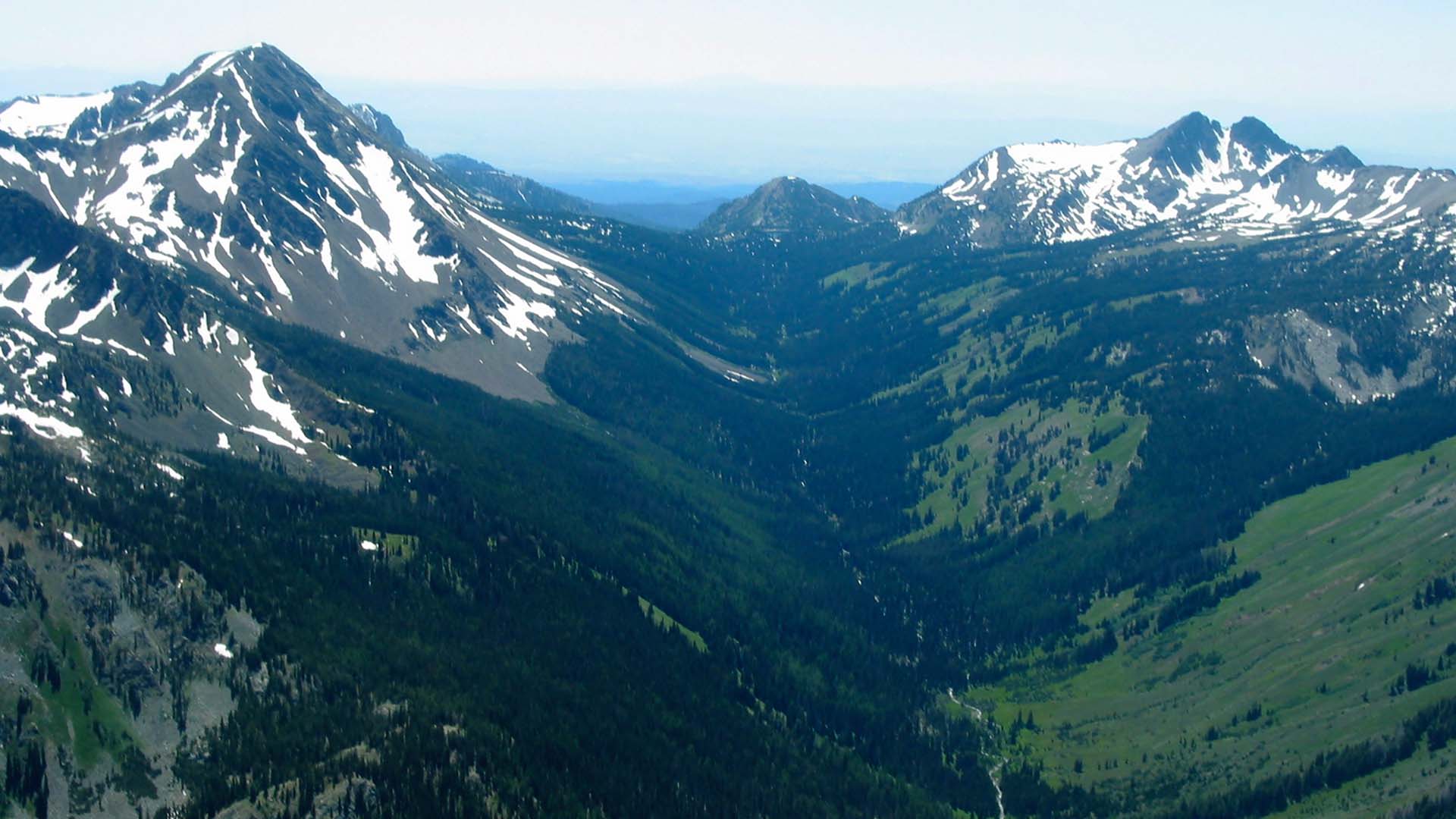
Featured Image credit to Trails Offroad. Use the link here to get 40% off your first year.