Overview: Utah's San Rafael Swell (just east of Green River, UT and south of Price) is home to some of the most spectacular deserts trails of the Intermountain West. This area is home to breathtaking sandstone cliffs and remote landscapes. Located within the swell, BLM Route SS4065 stands out as a must-see for anyone looking to get off the beaten path and enjoy a remote, camping experience and historic adventure. Featuring an excellent, out-of-the-way dispersed campsite in route and the remains of an abandoned uranium mine, this is a destination you won't want to miss. Located miles from the more popular routes in this area, your experience is sure to be one of solitude and adventure.

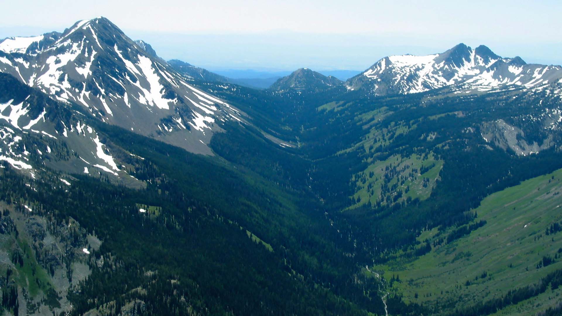
Getting There: BLM Route SS4065 turns off of BLM Route SS4060 at GPS coordinates 38°47'49.66"N and 110°49'11.50"W. There are two primary routes that lead to this area (though many others could be selected to fit you and your group within the many existing trails of the San Rafael Swell). For those looking for the most direct route along an easy, open road, we recommend traveling south along BLM Route SS4001 to SS4002 from I-70 (see picture below on the left). For those looking for a more scenic, exploratory route, we recommend taking Eagle Canyon from Justensen Flats to BLM Route SS4059 (see picture below on the right).


View Full BLM Scoping Map for the San Rafael Swell here: https://www.arcgis.com/apps/webappviewer/index.html?id=7ab9ab7390ae4a3b8131990680a8776f&extent=-12394149.4564%2C4653898.2205%2C-12265811.6859%2C4720857.0573%2C102100
Route Conditions: BLM Route SS4002 is an easy, broad route, located adjacent to Family Butte Road. This route is passable for any high clearance, 4WD vehicle during most seasons of the year. Eagle Canyon to BLM route 4059 features more rugged, technical terrain and access to a plethora of routes and spurs located throughout the San Rafael Desert. We recommend using a well equipped, high clearance 4WD or AWD vehicle and being mindful of weather conditions, should you take the second route.
As always, utilize LEAVE NO TRACE practices. Irresponsible recreation leads to ecological damage, road closures, and loss of access to important resources. It is important that motorized users stay on the trail and camp within a 30' buffer zone on either side of the road.
As you plan your trip, take time to familiarize yourself with the map and coordinates and plan a route that best fits you and your group. Be sure to not head off into the backcountry alone and tell someone where you are going before starting your trip.


BLM Route SS4065 continues west from coordinates 38°47'49.66"N and 110°49'11.50"W for approximately 0.35 miles before ending in a small loop. The abandoned mine may be found (as pictured above) on the north side of the loop.
Please be respectful of the historical value of the site and leave everything as you find it. Vandalism and other acts of destruction often result in rare finds like this becoming closed or restricted to the public. Keep this area open by respectfully and responsibly viewing the site and educating your party about responsible use.
These and other nearby spurs discussed in this article are at risk of closure under claims of natural reclamation if they are not used. Please come and enjoy this beautiful area and help to keep our roads open.

This route report is part of a larger guidebook BRC is completing to educate users about high-value motorized trails that are at risk of closure if we don't use them. This guidebook will be called the Lost Trails Guidebook, and has been funded by a generous grant from the Yamaha Outdoor Access Initiative with Jorgensen Powersports as a sponsoring dealer