Lolo National Forest Plan Revision: 2 million acres at risk for recreation restrictions

Mar 8, 2024

Why you should submit here, even if you already have elsewhere!

We keep them honest. If everyone only comments through the government/agency site, we have to take their word on how many comments were received. By submitting through BRC, we create an independent record of our community’s response that can’t be buried or under-reported.

We protect your voice. If this fight ends up in court, having our own record of submitted comments means we don’t have to wait a year or more for a government agency to turn over documents. We can move quickly with proof that thousands of you spoke up.
We keep you in the loop. When you comment through our site, we can send you updates on what comes next. If you only use the government/agency site, you’re depending on them to tell you what happens next — and they won’t.

Double coverage matters. Even if you’ve already commented through the government/agency site, submitting through ours makes your voice count twice — once in their system, and once in ours. That way they know the OHV community is watching and tracking every move.

For years, BRC has been trusted to run action alerts like this. Thousands of members and supporters have used this system effectively to defend access to public lands. This isn’t about collecting your info — it’s about building the strongest, most transparent record possible to hold agencies accountable.

Why you should submit here, even if you already have elsewhere!

We keep them honest. If everyone only comments through the government/agency site, we have to take their word on how many comments were received. By submitting through BRC, we create an independent record of our community’s response that can’t be buried or under-reported.

We protect your voice. If this fight ends up in court, having our own record of submitted comments means we don’t have to wait a year or more for a government agency to turn over documents. We can move quickly with proof that thousands of you spoke up.

We keep you in the loop. When you comment through our site, we can send you updates on what comes next. If you only use the government/agency site, you’re depending on them to tell you what happens next — and they won’t.

Double coverage matters. Even if you’ve already commented through the government/agency site, submitting through ours makes your voice count twice — once in their system, and once in ours. That way they know the OHV community is watching and tracking every move.

For years, BRC has been trusted to run action alerts like this. Thousands of members and supporters have used this system effectively to defend access to public lands. This isn’t about collecting your info — it’s about building the strongest, most transparent record possible to hold agencies accountable.

The United States Forest Service is updating the Lolo National Forest Plan. This plan will dictate how the 2 millions acres in central Montana are managed for the next several decades. All other plans will follow this overarching land management plan – such as travel management planning to determine which roads will stay open. This is scoping, the first step in the revision process. Comments on the proposed plan will be accepted until April 1, 2024.

Full Briefing

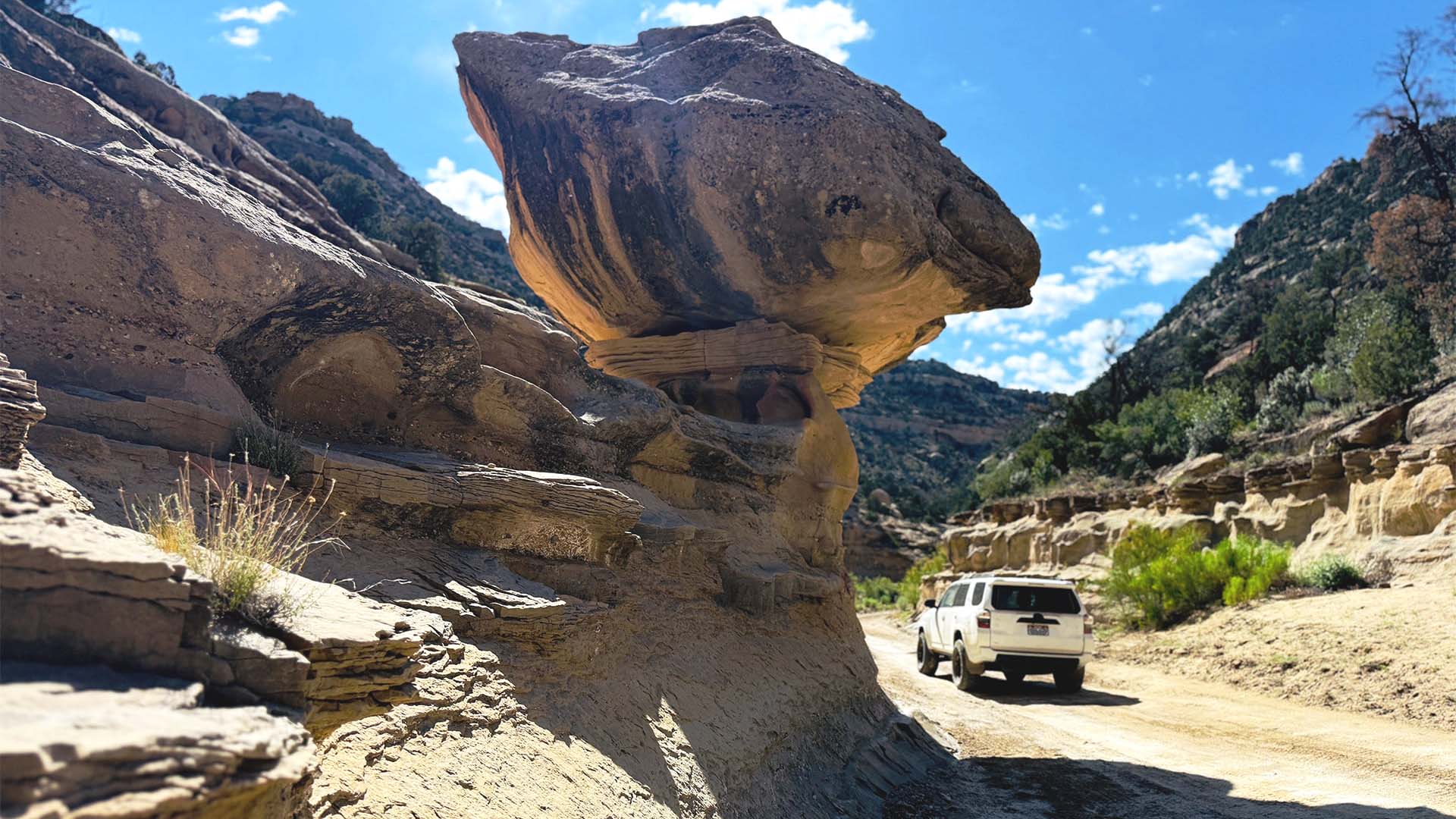
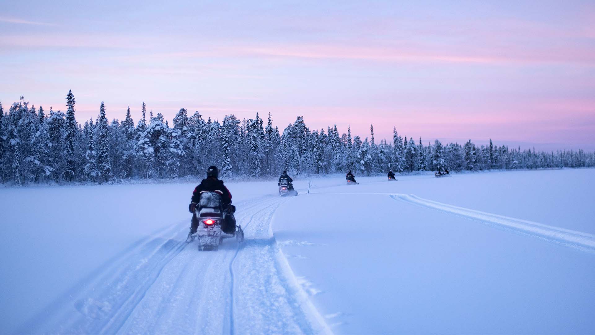
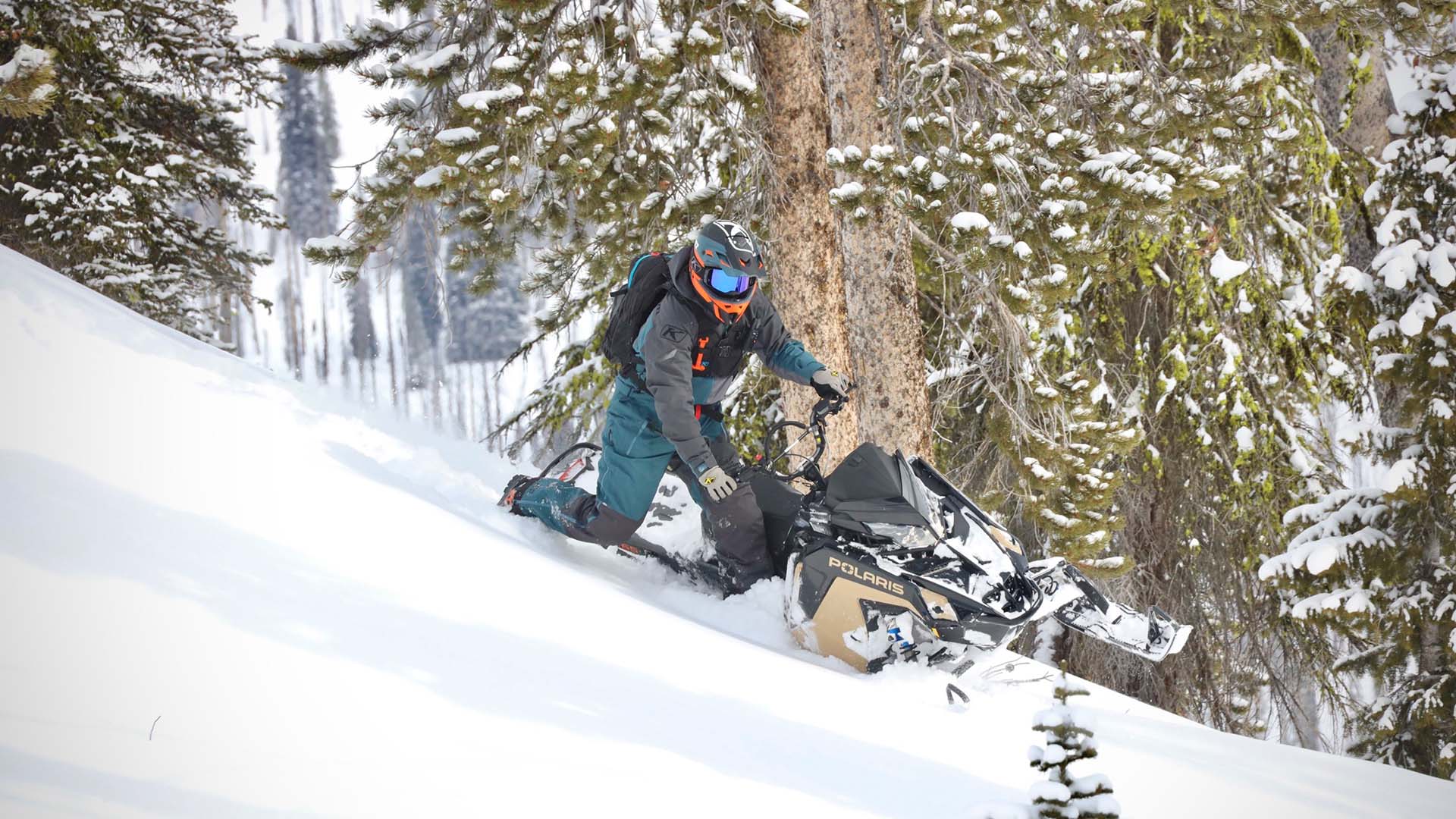
The Lolo plan is long anticipated with years of prep with public meetings and studies. The forest currently provides world class snowmobiling and off roading recreation opportunities. Submit a comment by entering your information below to send a comment to the USFS letting them know that the current proposals for the forest management plan is unacceptable as it designates far too much of the forest as non-motorized. The forest is also required to create winter and summer Recreation Opportunity Spectrum (ROS) maps. Currently most of the forest is available to snowmobile and OSV use however under the proposals most of the forest will close off access to these user groups completely altering the historical use of the area as you can see from the maps below.

Summer Recreation Opportunity Spectrum (ROS) Zones: 58% will be summer non-motorized zones

Winter Recreation Opportunity Spectrum (ROS) Zones: 79% will be winter non-motorized zones

Recommended Wilderness: The 1986 forest plan has 223,915 acres of Recommended Wilderness (RWA) The current plan has identified  1,157,133 ADDITIONAL acres for RWA consideration. Proposed 60,000 acres, adjacent to the Rattlesnake wilderness. 75 new recommended wilderness areas.

Wilderness: Scapegoat and the Selway-Bitterroot Wilderness are partially within the forest while the Welcome Creek and Rattlesnake Wildernesses are within the Forest. The Forest should not be creating non-motorized buffer zones around Wilderness areas as Congress did not specify those areas to be managed as Wilderness.

Snowmobile areas that are currently at risk for year round closure: Land around Seeley Lake is some of the most sought after OSV terrain in the nation that already has a seasonal closure. St. Regis to Lookout Pass. Prior to 2012, the Hoodoo area was open to OSV use and is currently closed. Motorized users have suffered closure after closure and this plan ultimately should not be implementing anymore year round closures. Typically the terrain provides natural barriers on where a motorized user can access.

The motorized community whether it be to access snowmobile areas, camping, off-roading, singletrack, mountain biking, logging and other such pursuits need to let the Forest Service know the current proposal will not sustain the local economies or the current or future needs of recreation access.

Appreciate What We Do?

It takes a team of people to investigate, review, advocate and litigate in order to protect your rights to public lands. Please consider donating today so we can defend your ground.

Latest Articles
Rogue Judge Closes 2,200 Miles of OHV Routes in the Mojave Desert

Rogue Judge Closes 2,200 Miles of OHV Routes in the Mojave Desert

A recent federal court ruling has ordered sweeping closures of off-highway vehicle (OHV) routes and vast areas of public land in the Mojave Desert, using desert tortoise habitat as justification. The decision forces 2,200 miles of designated routes to close and places...

Categories