1306 Miles of Roads and Trails Saved in the Owyhees

Nov 6, 2023

Why you should submit here, even if you already have elsewhere!

We keep them honest. If everyone only comments through the government/agency site, we have to take their word on how many comments were received. By submitting through BRC, we create an independent record of our community’s response that can’t be buried or under-reported.

We protect your voice. If this fight ends up in court, having our own record of submitted comments means we don’t have to wait a year or more for a government agency to turn over documents. We can move quickly with proof that thousands of you spoke up.
We keep you in the loop. When you comment through our site, we can send you updates on what comes next. If you only use the government/agency site, you’re depending on them to tell you what happens next — and they won’t.

Double coverage matters. Even if you’ve already commented through the government/agency site, submitting through ours makes your voice count twice — once in their system, and once in ours. That way they know the OHV community is watching and tracking every move.

For years, BRC has been trusted to run action alerts like this. Thousands of members and supporters have used this system effectively to defend access to public lands. This isn’t about collecting your info — it’s about building the strongest, most transparent record possible to hold agencies accountable.

Why you should submit here, even if you already have elsewhere!

We keep them honest. If everyone only comments through the government/agency site, we have to take their word on how many comments were received. By submitting through BRC, we create an independent record of our community’s response that can’t be buried or under-reported.

We protect your voice. If this fight ends up in court, having our own record of submitted comments means we don’t have to wait a year or more for a government agency to turn over documents. We can move quickly with proof that thousands of you spoke up.

We keep you in the loop. When you comment through our site, we can send you updates on what comes next. If you only use the government/agency site, you’re depending on them to tell you what happens next — and they won’t.

Double coverage matters. Even if you’ve already commented through the government/agency site, submitting through ours makes your voice count twice — once in their system, and once in ours. That way they know the OHV community is watching and tracking every move.

For years, BRC has been trusted to run action alerts like this. Thousands of members and supporters have used this system effectively to defend access to public lands. This isn’t about collecting your info — it’s about building the strongest, most transparent record possible to hold agencies accountable.

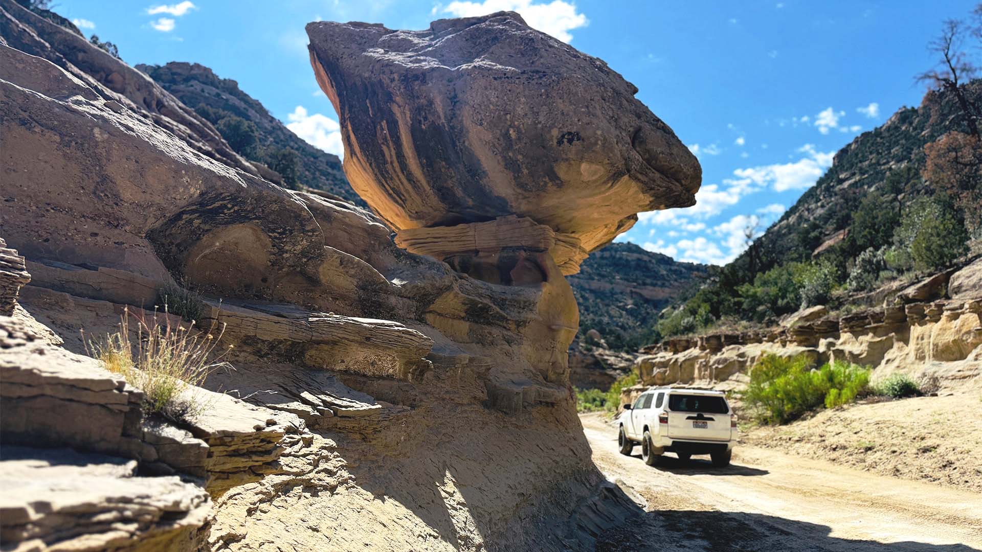
While everyone was focused on the terrible closures in Moab, the Bruneau Field Office of the BLM in Idaho released their final plan for the Canyonlands East area near the Owyhees. This area includes the eastern reaches of the Owyhee Canyonlands south of Boise.

In a major victory for all the outdoor recreation users in the area, the BLM chose the pro-access alternative. The worst alternative in this case – like the one they chose in Moab – would have only left 458 miles (70 of these miles are the main paved highway) out of 1493 miles open for recreation use. 

A map of the “closure” alternative rejected by the Bureau of Land Management

In July we asked our members to submit comments on the Canyonlands East TMP, not to be confused with the Canyonlands West TMP that we asked for comments on last week. Over 400 of our members and supporters submitted comments as well as local clubs we had been working with.

BRC, the Boise Idaho Jeep Club, Wild West Offroaders, and Idaho Off-Road 4×4 Club coordinated during the planning process and advocated for a modified version of the pro-access alternative. With the on-the-ground knowledge of these local clubs, we were able to identify numerous routes that BLM was proposing to close that were used and loved by the outdoor recreation users in the area. The BLM acknowledged that the feedback from off-roaders and recreation users informed their decision to open even more routes than originally planned in the pro-access alternative. As a result, they chose to keep 1306 miles of the 1493 open for public use. 

A map of the access alternative selected by the BLM

This shows that when we make public comments on these plans and the BLM chooses to respond to them in a reasonable way, these plans can focus on keeping our public lands open for the public. This is why we put a lot of time and effort into preparing action alerts to educate everyone about these plans.

As with all of these plans, we will be looking at the exact details to make sure they didn’t close anything that would hurt recreation users. But at a first glance, we are encouraged that the Bureau of Land Management is working to protect public recreation access to the Owyhees.

Appreciate What We Do?

It takes a team of people to investigate, review, advocate and litigate in order to protect your rights to public lands. Please consider donating today so we can defend your ground.

Latest Articles
Rogue Judge Closes 2,200 Miles of OHV Routes in the Mojave Desert

Rogue Judge Closes 2,200 Miles of OHV Routes in the Mojave Desert

A recent federal court ruling has ordered sweeping closures of off-highway vehicle (OHV) routes and vast areas of public land in the Mojave Desert, using desert tortoise habitat as justification. The decision forces 2,200 miles of designated routes to close and places...

Categories