The Bureau of Land Management is proposing a land exchange in northern Campbell County, Wyoming, between the federal government and the Quarter Circle 7 Ranch. The proposal would transfer up to 4,550 acres of scattered BLM parcels into private ownership in exchange for approximately 2,418 acres of private land, with the goal of consolidating public lands into a more contiguous 8,500-acre block. These transfers would occur in two phases.
While we have supported land transfers that protect or increase recreation which are a net benefit for public good, we oppose those that restrict or may threaten recreation. Even though this exchange could improve overall land management and unlock new areas for recreation, we must oppose this exchange for the following reasons:
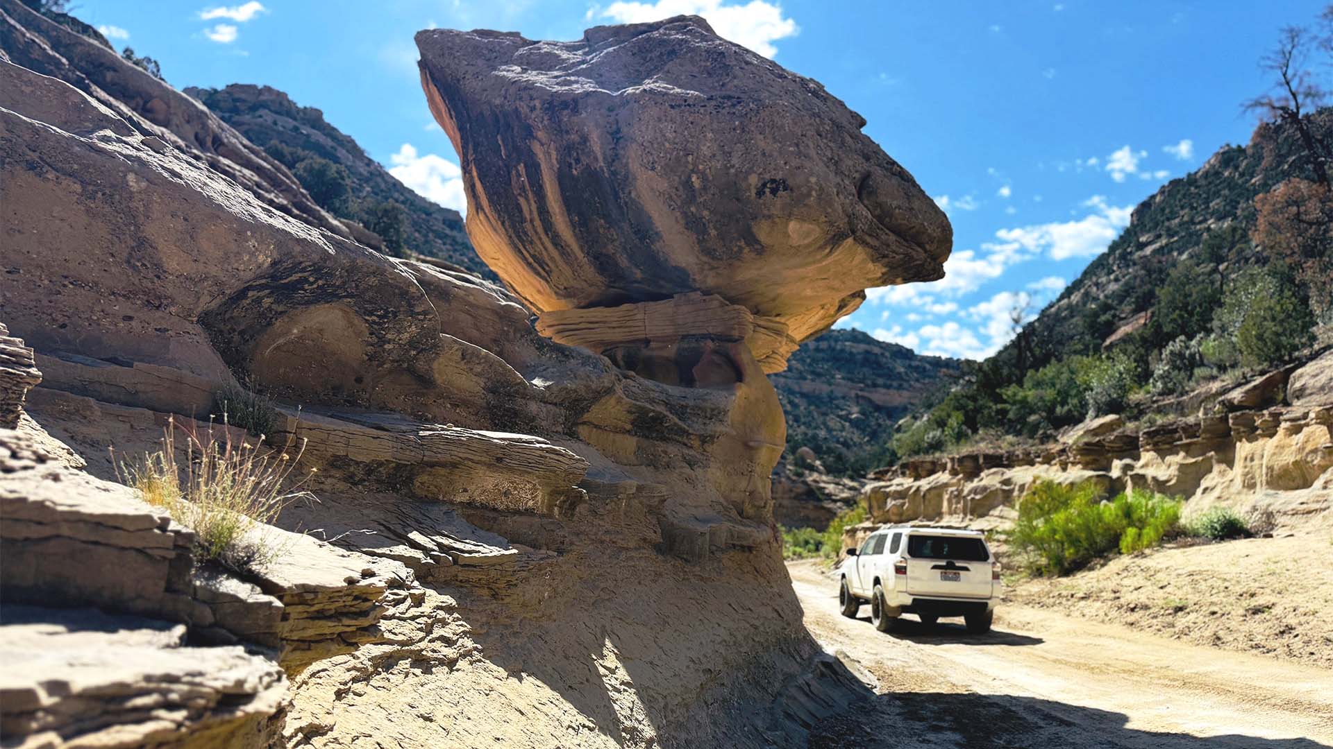
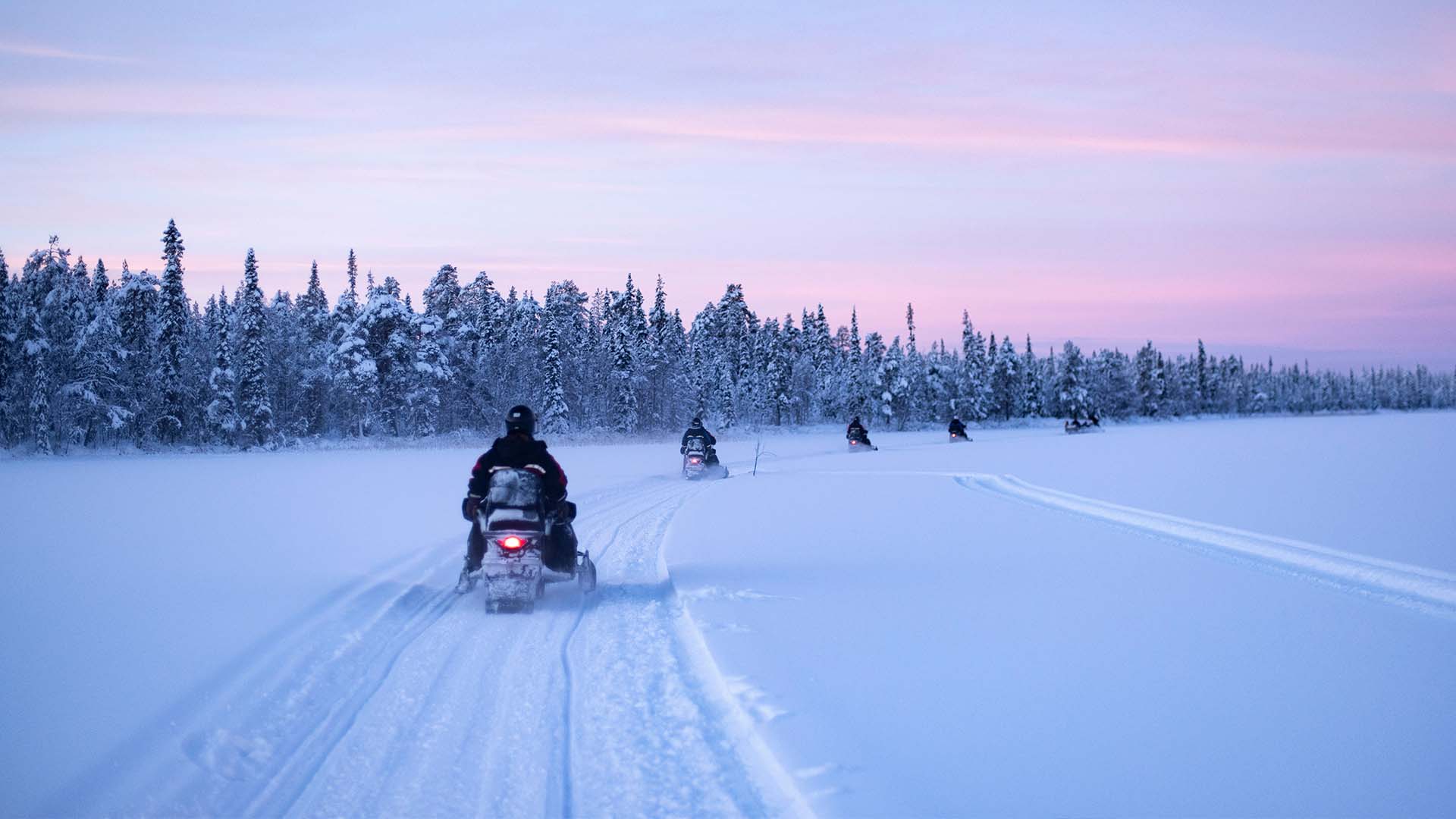
- It would result in the loss of motorized access to nearly 20 miles of roads currently open on public land
- There is no travel management plan for the new acres, thus, future access after the exchange is unclear
- The valuation of the land is not adding up with almost a 2-to-1 land exchange
Find details, our recommendations for clarification, and the form to add your comments below. BLM is accepting comments through June 23rd.
Note: This transfer is not related to the Senate public lands proposal. It is being executed under the rules and regulations of the Federal Land Management and Policy Act and following the NEPA processes established in 1970.
The BLM has analyzed three different alternatives, Alternative A which is to not move forward with the exchange and Alternatives B and C which are varying levels of the exchange.
Alternative A: No Action
- No land exchange takes place.
- Dispersed parcels remain disconnected.
- Management continues with current fragmented ownership, limiting wildlife and recreation opportunities.
Alternative B: Proposed Initial Exchange
- BLM and Quarter Circle 7 Ranch exchange only a portion of the proposed parcels.
- The first phase transfers some private land in exchange for scattered federal parcels to begin consolidation.
- Results in a smaller increase in contiguous public land, with some corridors improved but not fully consolidated.
Alternative C: Full, two-phase exchange:
- The full, two-phase exchange as initially proposed: approximately 4,550 acres of ranch land traded for up to 2,418 acres of federal land.
- Creates a consolidated ~8,500-acre block of public land, improving connectivity and access across a former checkerboard landscape.
- Unlocks non-motorized access to over 2,000 acres nominated under the Dingell Act for recreation while forfeiting existing public land parcels with motorized access.


Although the proposed land exchange would give more access to total acreage it is crucial to note how that access would be given. Alternatives B and C would reduce the amount of motorized access in this area overall. Current motorized access is approximately 20 miles of routes. It's acknowledged that these are used regularly for OHV's and recreation. If the exchange moves forward, the public would lose access to those 20 miles of routes unless the new land owner grants public access to them which is unclear. However, travel management planning has not been completed in this area and the current 20 miles of routes have never been officially designated. Because of this future access to these 20 miles is uncertain even if the exchange is not approved.
Land Valuation:
The BLM is making the case that the lands being exchanged are of equal value. The BLM lands are valued at $1,400/acre totaling $2,960,000. The private land was valued at $1,200/acre totaling $1,325,000 leaving a $1,635,000 difference. The environmental assessment states that the difference in amounts is made up due to the increased legal access and improvements that are made on the private lands that the BLM would acquire. BRC has serious concerns with this valuation because there is less motorized access on the private parcels. BLM should also be required to provide the full inventory of improvements that have been made on the private lands to justify that these carry a value of at least $1,635,000. The basic math of the valuation also doesn't add up. 1,268 acres valued at $1,200/acre should come out to $1,521,600 in value. 1,491 acres values at $1,400/acre should come out to $2,087,400. In addition to this, they are proposing completing this exchange in 2 phases and by the completion of the 2nd phase we will received 2,418 acres of non-federal land in exchange for 4,550 acres of federal land. At these acreage levels the valuation disparity shows we will be receiving $2,901,600 in value and giving up $6,370,000 in value. We understand that real estate valuation is usually more of an art than a science, but that makes it even more important for the agency to show its work for how it's reaching its valuation conclusions. These numbers appear to be not adding up.
This exchange, while potentially beneficial for land consolidation and public land management from the BLM's standpoint, results in a net loss of motorized access unless the BLM:
- Secures public easements on the current federal land prior to transfer,
- Develops new motorized access routes into the consolidated block,
- Includes motorized trail planning for affected parcels as part of this decisions.
Without those steps, existing users especially OHV riders, hunters, and rural residents, will lose access to familiar roads and terrain they have used for years. Because there is no guarantee motorized access will be secured moving forward BRC recommends the BLM add an additional alternative that protects and truly increases motorized recreation opportunities or select the no action alternative.
Use the tool below to submit your comment to the BLM.