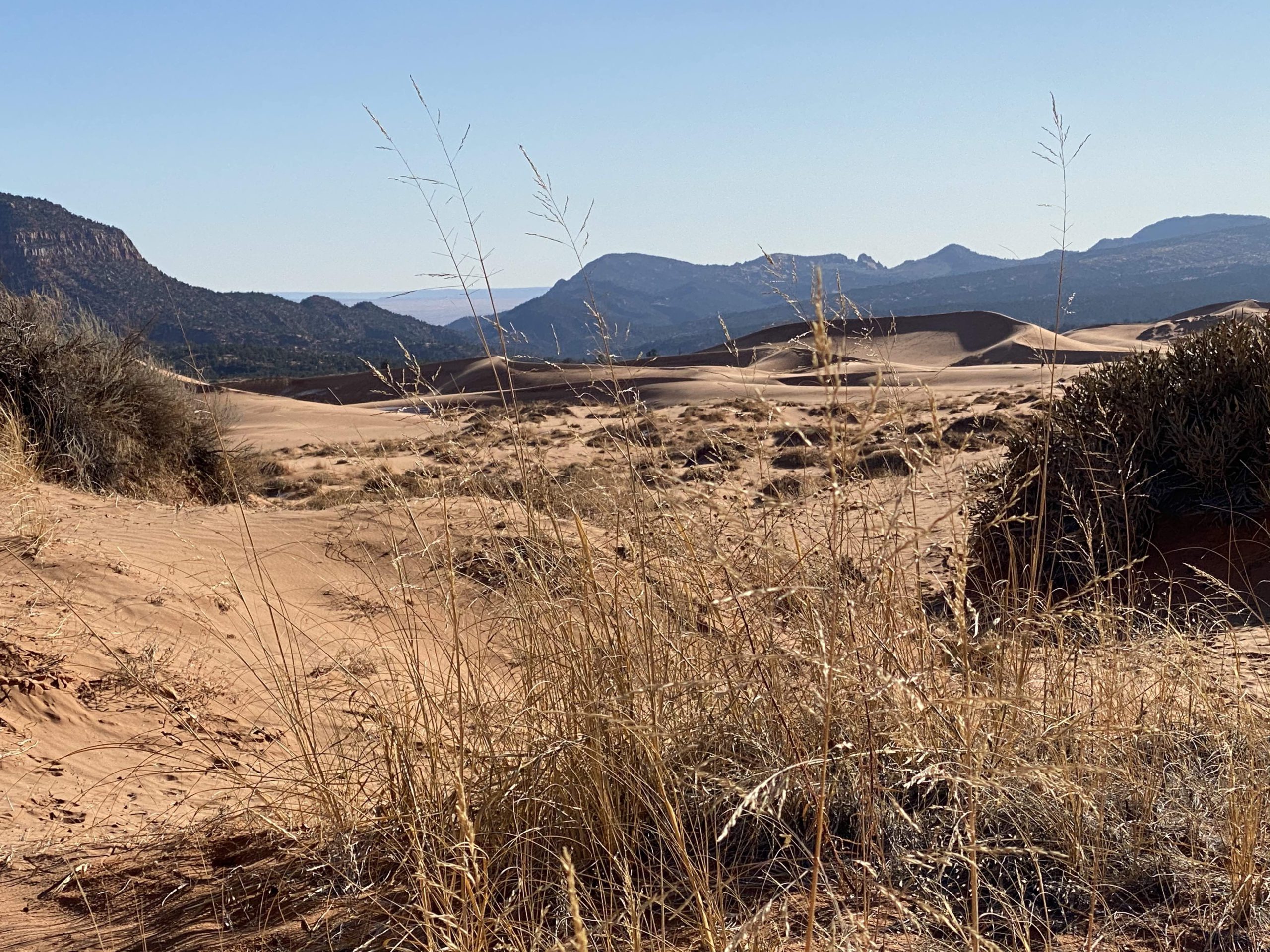
Overview: Sand Spring Road (KNFO No. 50) is a 3.5 mile OHV route that leads from Hancock Road into the Moquith Mountain Wilderness Study Area to a 1.73 mile destination hike. The Moquith Mountain Wilderness Study Area is a scenic and remote area located east of Utah’s...
Win a $74k+ Custom Side-by-Side & Trailer Package - Click Here
Articles: SXS
Oppose the Red Rock Wilderness Act: Locking Up More Land in Utah
Conservation groups are pushing the Red Rock Wilderness Act which would designate even 8 million acres in throughout Utah as Wilderness. Utah already has extensive miles of land managed as Wilderness, wilderness study areas or land with wilderness characteristics....
Add Your Voice to Paunsaugunt Travel Management Area | 10,000+ Project Update
The Bureau of Land Management in Southern Utah is updating the travel management in the Paunsaugunt area near Kanab. This area includes 451 miles of routes that will be analyzed, and we think they should keep every mile of these routes open....
Lost Trails Guide #1 | San Rafael Desert, UT | BLM Route 679 | Labyrinth Canyon Wilderness
Overview: BLM Route 679, located in the San Rafael Desert south of Green River, UT, is a 1.5 mile spur that leads to a spectacular overlook of the Green River as it skirts along the cliffs into the heart of the Labyrinth Canyon Wilderness. As one of the...
UTV Utah Fundraising for Moab Legal Actions
We want to give a huge shout out to Bud Bruening and UTV Utah for organizing a fundraising campaign to support the legal challenge we joined with multiple ATV outfitter and guiding businesses in Moab to protect the motorized outdoor recreation industry from...
Proposed Listings for the Yellow-Legged Frog
The Fish and Wildlife Service is proposing to list the Foothill Yellow-Legged Frog as endangered and threatened. This frog is located in California and Oregon. BRC is concerned with the potential listing because agencies have already restricted OSV and motorized use...
American Conservation and Stewardship Atlas: Added, arbitrary layers of conservation to achieve 30X30
The Department of Interior is in the process of creating the American Conservation and Stewardship Atlas. From our understanding, the Atlas will be used to track which lands and waters qualify to meet the objectives of the 30X30 initiative and set a road map for...
Moab ATV Businesses and BlueRibbon Coalition Celebrate Passage of HB 146 and Announce Challenge to Grand County ATV Business Regulations
SALT LAKE CITY, UTAH – On March 2, 2022 a group of 13 Moab ATV businesses and the BlueRibbon Coalition filed a Notice of Claim to Grand County to challenge recently enacted restrictions on ATV rental and ATV outfitter and guide service businesses. On March 3, 2022 the...
30X30 In California
The state of California has released a draft strategy for how they will achieve their part of the nation's 30X30 plan. This is an extreme environmental plan to conserve 30% of the nation's land and water by year 2030. Oftentimes people hear "conserve land and water"...
Greater Sage-grouse Land Use Plan Amendments in the Western United States
Greater Sage-grouse, or sometimes referred to as a Sagehen is a large type of grouse that lives in the western United States. In 2015 the BLM and Forest service amended many land use plans in order to accommodate the bird. When these 98 management plans were amended...