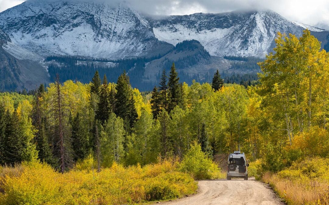
We recently filed an objection to the US Forest Service’s Carbon River Landscape Analysis, which proposes logging projects in the Evans Creek OHV Area of the Mt. Baker Snoqualmie National Forest. As is often the case in projects like this, there was an analysis of of how the project would impact the soils and the watersheds. The Evans Creek OHV trail system is the only trail system in the entire forest, and it includes 35 miles of popular trails in an area that is near streams. Some of the trails also cross the streams. This project also analyzed other roads in the project area, which amounted to 77 miles of roads total. Because they proposed to improve the maintenance level on various roads to limit the sedimentation impact of roads on the streams, this plan included detailed analysis of the sedimentation impact of the road system.
Here is what the plans analysis revealed, “About 19% of the road system contributes substantially to sediment transport. Roads in the project area contribute an estimated 2,118–6,160 kg of sediment entering streams annually.”
Ok…
2,118-6,160 kg of sediment annually. So, we’re looking at 4,659 – 13,552 lbs. of dirt. That comes out to the same amount of dirt in a partially full dump trailer that can be hauled behind a standard pick-up truck – like the picture below.

To put this in context, according to the USGS the rivers (like the Carbon River) that flow out of the drainages of Mt. Rainier and the Cascades in Washington usually move anywhere from 800,000 – 1,200,000 tons of sediment a year. So the roads in the Evans Creek OHV area and its surroundings annually contribute 4,600 – 13,500 lbs of sediment in a watershed that moves 1,600,000,000 – 2,400,000,000 lbs (not a typo) of sediment. These roads are increasing sedimentation in the river by 0.000375%. This is an impact that is so negligibly small, it is basically non-existent.
However, the U.S. Forest Service is treating this like it is an important factor in its environmental analysis of the project. Their own words say that this almost non-existent impact is “contributing substantially to sediment transport.” The National Environmental Policy Act that requires analysis of environmental impacts for projects like this, states the impacts to be studied should be “significant.” The problem is that the law doesn’t clearly define what counts as significant. When you mix ambiguity with reality and you have staff with titles such as “hydrologist” and “soils technicians”, you end up with an environmental review process where we spend years and substantial agency budget analyzing whether adding 0.000375% of sediment load causes adverse effects to the riparian environment and the water quality in the area.
The downstream effect of this nonsense is that it legitimizes the narrative that roads and active management projects in our forests significantly impair water quality. There is no reasonable basis to conclude that a 0.000375% of increased sedimentation impact is significant.
Meanwhile, we’ve already shared the findings from the Congressional Budget Office that show that 14% of wildfires that start in remote and inaccessible areas (like Roadless Areas) result in 59% of acreage destroyed by wildfire. Wildfire impacts on water quality have been extensively studied, and here’s an example of what has been discovered:
A team of researchers led by Dr. Carli Brucker at the University of Colorado Boulder analyzed large-scale, long-term trends in water quality in response to fires. The researchers considered more than 500 different watersheds across the western United States, spanning sites from southern California to northern Montana. They analyzed over 200,000 water quality data points over a period of nearly 50 years from 1974 to 2022. These data tracked changes in key water quality indicators: organic carbon, nitrogen, phosphorus, sediment, and turbidity (a measure of water cloudiness).
The researchers built a model to measure how drastically these factors change pre- and post-wildfire, which allowed them to isolate the “big picture” of how contaminants respond over time and across diverse landscapes. In the model, they controlled for climatic effects on water quality to isolate how fire itself was changing these pollution factors independent of local climate and hydrology factors like temperature, precipitation, fire season timing, and typical runoff.
The team discovered three key results about water quality post-burn at this scale. First, across sites, there are generally spikes in contaminants. For sites across the region in the first two years after a wildfire, total carbon increased by 462%, nitrogen and phosphorus increased 224%, suspended sediments increased 254%, and turbidity shot up a whopping 4420%. At a large scale, this suggests that severe water quality degradation is common after fires.
These impacts last multiple years. While most other studies only have the data to evaluate short-term effects (2-3 years), this analysis considered longer-term outcomes. While the data used here included nearly 50 years of water sample data from 1974-2022, the longest consecutive sampling series at a single site only covered 8 years. Post-burn, elevated levels of organic carbon, nitrogen, sediment, and turbidity persisted for these 8 documented years, and likely could last for decades.
What poses more risks to water quality? A 0.000375% increase of displaced dirt from an OHV area? Or a 254% increase of dirt— including +4,420% increase in turbidity — caused by wildfire? It doesn’t take a scientist to figure that out.
Do an internet search on wildfire impacts to water quality, and you will find hundreds of other studies like this that document what is painfully obvious to everyone who lives downstream from fire-ravaged forests: Wildfires absolutely destroy entire watersheds for decades. The biggest risk to clean water in our National Forests is leaving 45 million acres of these forests locked away in inaccessible, unmanaged Roadless Areas.
Read more…
More to come— so stay tuned! But don’t delay letting your representatives and the USDA know that you support rescinding the Roadless Rule. You can do both via the form below. Comments are due September 19th!